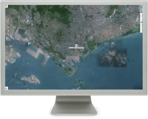
JA Security and Innovations enhances its NEW MAPPING images at JASI Online platform, on a FULL screen with faster and easy-to-access tools and services for all of our products!
JA goes now into the BIG SCREEN! Starting this week, the integrated MAPPING images, routes, icons and graphical tools will be shown on the screen in a higher level, intuitive, easy-to-use and far more impressive! The main MAP covers almost the whole available screen, even enabling the NEW FULL SCREEN feature!
The new MAP TOOLS pop-up window is intuitive, accessible and easy to use. The icon is located at the bottom left corner and provides access to:
• Create new or edit existing perimeters,
• Measure distances on the map,
• Enable or disable the Perimeters-view and All-units-view features,
• Select different kind of MAPS available
The new UNIT INFORMATION pop-up window shows detailed information about the unit or group of units selected. The icon is located at the top left corner and provides information regarding:
• Date & time, Reason, Current state and Version of the unit.
• Detailed information to its last valid location, including speed, mileage and GPS details.
• Detailed status of all INPUT and OUTPUT of the device.
• A section to send commands to the device.
We are very proud of our NEW MAPPING SYSTEM and believe it will provide our customers with a better experience using JA Online’ s platform. We will be glad to receive your feedback and ideas!
